
Our services
GIS and utility solutions across four disciplines
Netza Technologies brings telecommunication, planning and designing, base mapping, and IT services together under one team. Each discipline is distinct, and each is scoped to the project requirements of GIS and utility clients.
Whether you need fiber route drafting, corridor analysis, a clean landbase, or dependable spatial IT support, we start with a clear picture of your ground conditions and your goals.
Core disciplines
Four dedicated technical practices
Telecommunication
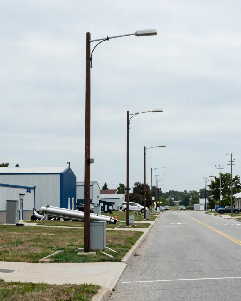
We draft fiber network routes, plan cellular tower placement, and design outside plant telecommunications solutions for utility-scale networks.
Fiber network drafting
Cellular tower planning
Outside plant design
Planning & Designing
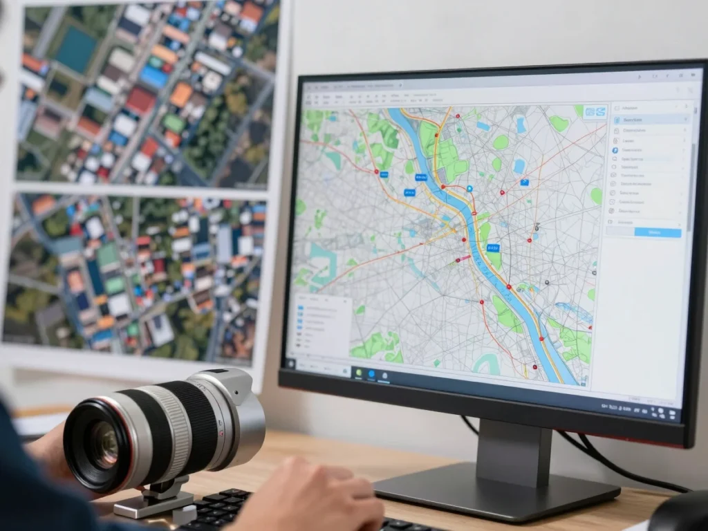
We analyze spatial constraints, corridors, and engineering requirements to produce planning and design workflows for utility systems.
Spatial planning studies
Corridor analysis
Engineering design workflows

Base Mapping
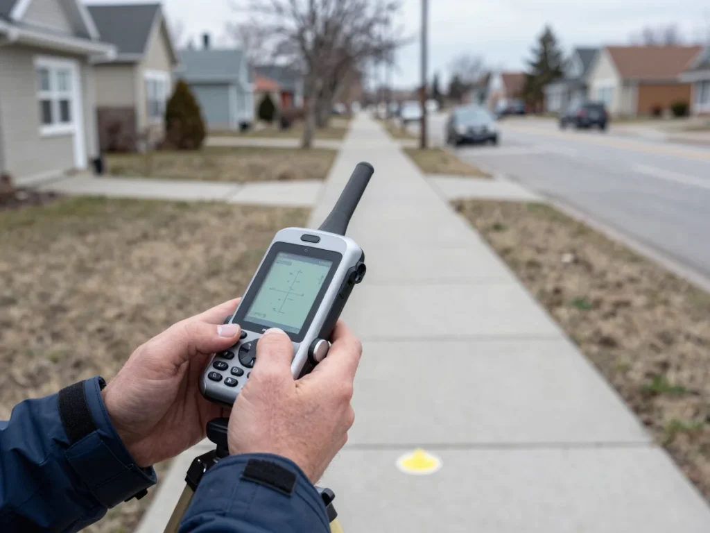
We collect spatial data, digitize vector features, build landbase layers, and manage GIS geodatabases that keep utility records accurate.
Spatial data collection
Vector digitization
Landbase creation and geodatabase management
IT Services
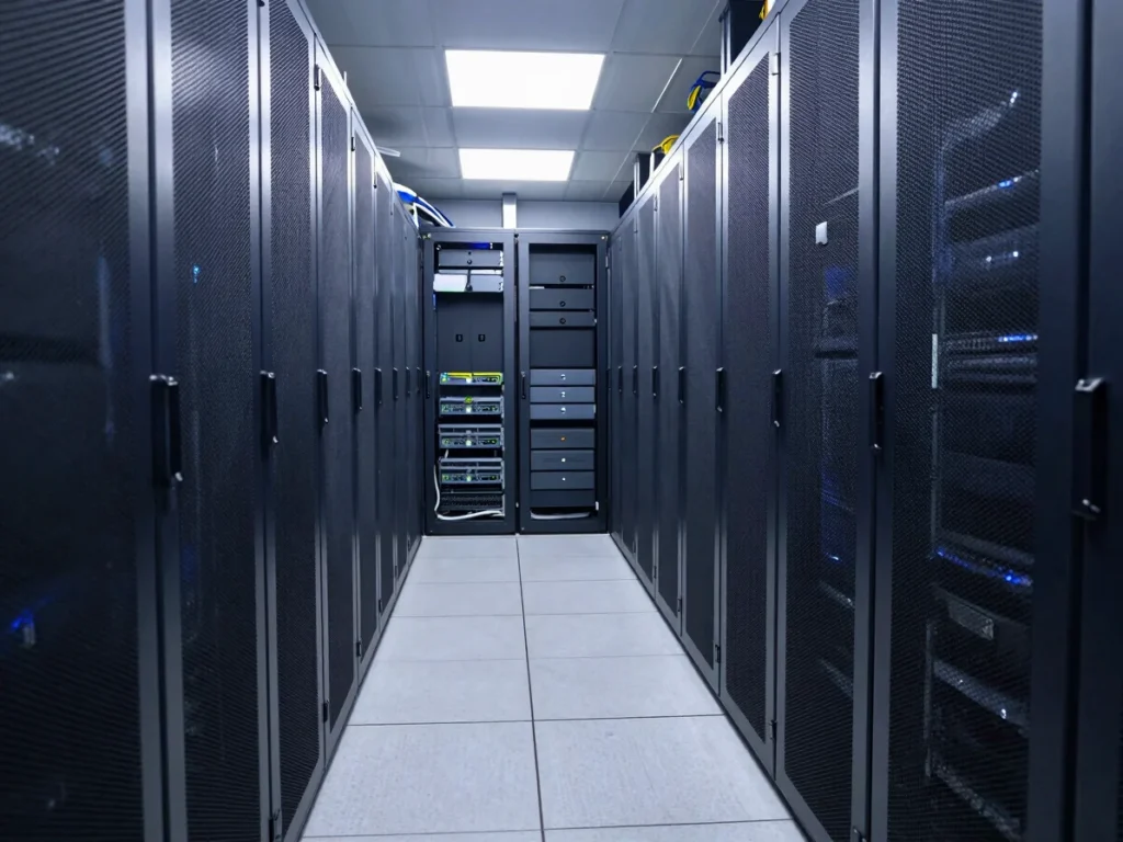
We support enterprise IT for utilities, including spatial database optimization, cloud hosting, and software management.
Enterprise IT support
Spatial database optimization
Cloud hosting and software management
How we deliver
A five-stage delivery methodology
Every engagement follows the same structured path, from first consultation through ongoing support.
01
Consult
We define project requirements and scope.
02
Plan
We map constraints and set the workflow.
03
Design
We produce drafts, models, and data layers.
04
Deliver
We hand over validated, documented work.
05
Support
We keep systems and data current over time.